Using satellite data to respond to environmental disasters
The challenge of providing a rapid response to environmental disasters as varied as flooding, drought, illegal logging and oil spills is the focus of two new projects in which the University of Oxford is a key partner. Dr Steven Reece, data processing and machine learning lead at Oxford’s Department of Engineering Science explains how the project will work in action and the role that machine learning technology will play in it.
Preparing for a potential environmental threat is highly challenging and when it comes to identifying hazards, some data can be more useful than others.
Compared to other forms, satellite data, can quickly recognise small changes on the surface of the earth or sea that may be indicators of a larger problem in the making. For example, a new ‘hole’ appearing in a forest can provide evidence of illegal logging, or a slight colour change in crops may show the early effects of drought. Combining data from these images with other sources has the potential to create powerful information for governments and other actors.
Satellite imagery is very useful for quickly generating independent data from a wide variety of events on the earth as they unfold. The difficulty is how to organise and process this vast quantity of data and to combine it with other insights from the earth’s surface so that it can be used to inform decision-makers in the most effective way. There may also be gaps in the data, or some of it may be unreliable, and this is where machine learning technology can be really useful.
Machine learning is having a positive impact on many walks of life, supporting evidence-based decision making across a wide range of different application domains, and truly ground breaking data-centred solutions to key societal problems.
The Oxford University Department of Engineering Science are world leaders in the field. Our machine learning solutions, include tools that are capable of automating and processing large quantities of data from satellite images. This specialist knowledge will be key to a new international collaboration that will use machine learning enabled satellite imagery to make a real difference to people’s lives; improving emergency response to environmental disasters in Malaysia, Ethiopia and Kenya.
UK Space Agency funded projects led by the Satellite Applications Catapult and Airbus Defence and Space will provide a more-timely, accurate and detailed understanding of an environmental crisis than is currently available. The data gathered will be used as a starting point to create information for key decision makers in countries affected by environmental disasters, so that they are able to intervene as early as possible to protect local people and the planet.
Both projects: Earth and Sea Observation System (Malaysia) and Earth Observation for Flood and Drought Resilience in Ethiopia and Kenya, are supported through the UK Space Agency's International Partnership Programme and have attracted a total investment of £21 million.
The objectives of the work are directly relevant to many of the United Nation’s Sustainable Development Goals:
In Malaysia we will be working with government agencies to tackle flooding, oil pollution and illegal logging, all of which pose serious social and economic threats to Malaysian people. Monsoon flooding is a major annual issue, and the project aims to enable evacuation plans and flood defences to be activated much faster. It will also generate data that will help the authorities to quickly identify and track oil leaks from shipping which are causing irreparable damage to Malaysia’s mangrove swamps, and to locate areas where illegal logging is taking place.
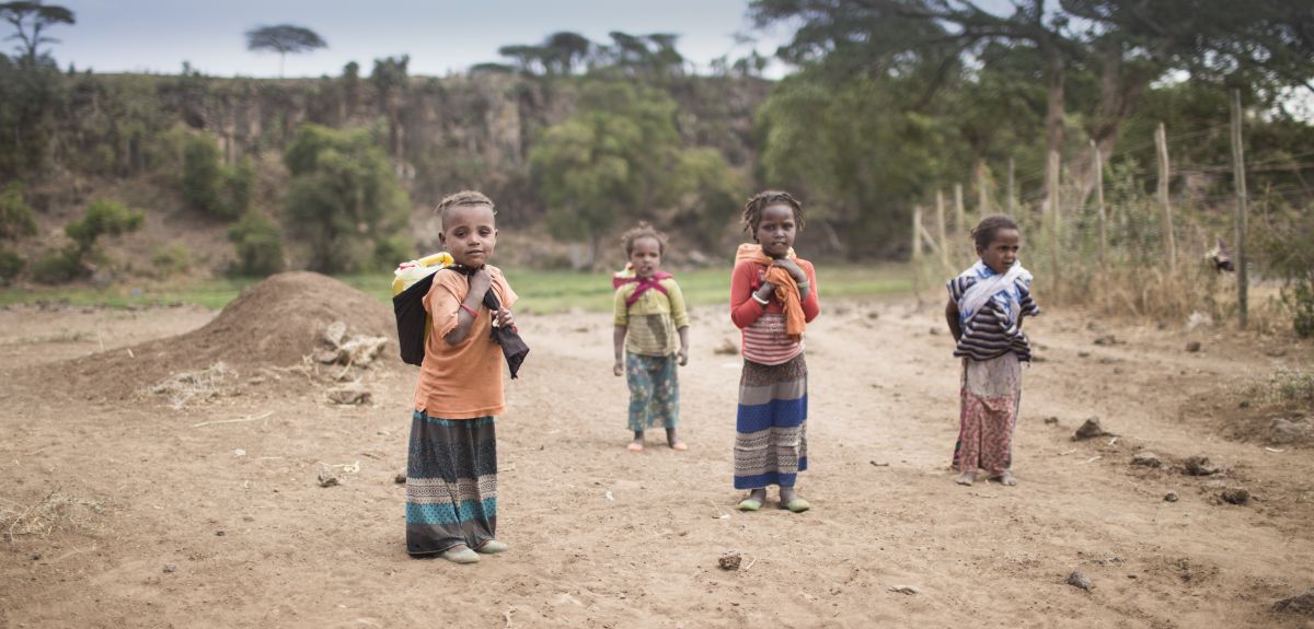
In Ethiopia and Kenya the focus will be on creating an improved understanding of flood and drought risk, thus helping to build local people’s resilience to these natural disasters and alleviate poverty. The intention is to use the same data to provide an emergency response where needed and to help develop longer-term strategies and solutions to drought and flood. In Kenya the project will also be generating tools to support the micro-insurance market, which is of key importance to farmers who have little or no access to insurance, by providing independent data about crop damage to verify farmers’ claims.
Our software can reconcile inconsistent data, filter out unreliable sources, and integrate information derived from other sources such as social media. It is even able to interpolate what may lie in the data ‘black spots’ between known observations, thus ‘filling in the gaps’ in the overall picture.
In collaboration with several other partners with different types of expertise, we will be bringing our specialist knowledge to bear on the real-world problems identified in Malaysia, Ethiopia and Kenya, and working out how they can be applied most effectively in these different contexts. In the drought-response work in Ethiopia and Kenya, for example, our engineers will be working with colleagues from the School of Geography and the Environment who specialise in hydrology. We will work together with partners from industry, to investigate how to use machine learning to integrate data from satellite imagery of crops with information of both surface and subterranean water resources. Combining views from above and below in this way is more powerful than looking at each one individually, and will create a much more accurate early warning of drought.
We hope that the lessons learned from this work will be used to better understand environmental threats in other areas of the world, and prevent their impact in the future.
About OxSciBlog
The Oxford Science Blog gives you the inside track on science at Oxford University: the projects, the people, and what's happening behind the scenes. Curated by Ruth Abrahams, Media Relations Manager (Research and Innovation).
Contact: Ruth Abrahams, [email protected]