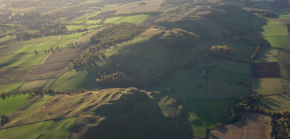
Kieran Baxter/National Trust
Online hillforts atlas maps all 4,147 in Britain and Ireland for the first time
Dotted across the landscape of Britain and Ireland, hillforts have been part of our story for millennia and for the first time a new online atlas launched today captures all of their locations and key details in one place.
A research team based at the universities of Oxford, Edinburgh and University College Cork has been helped by citizen scientists from across England, Wales, Northern Ireland, Scotland and Ireland.
Funded by the Arts and Humanities Research Council (AHRC), they have spent the last five-years sifting and recording information on all the hillforts across Britain and Ireland. They have discovered there are 4,147 hillforts in total, and have collated details for every one on a website that will be accessible to the public – and completely free.
The result can be found here.
The survey covers England, Wales, Scotland, Northern Ireland, The Republic of Ireland, and the Isle of Man, with Scotland claiming 1694 hillforts - nearly half of all the hillforts identified. A staggering 408 hillforts are located in Scottish Borders alone. England follows shortly behind Scotland with 1224 hillforts, with Northumberland as a clear winner with 271.
Professor Ian Ralston from the University of Edinburgh, who co-led the project, said: 'Standing on a windswept hillfort with dramatic views across the countryside, you really feel like you’re fully immersed in history. This research project is all about sharing the stories of the thousands of hillforts across Britain and Ireland in one place that is accessible to the public and researchers.'
'It is important that our online database will be freely accessible to all researchers and interested parties', added Professor Gary Lock from the University of Oxford and co-principal investigator for the project.
'AHRC funding has enabled this extensive collection and integrating of data which will provide the baseline for much future research into hillforts at scales never before possible.'
This unique resource will provide free access to information about world-famous sites as well as many previously little-known hillforts, helping ramblers, cyclists, naturalists, and history enthusiasts discover them and their landscapes in all their variety.
Professor Lock said: 'We hope it will encourage people to visit some incredible hillforts that they may never have known were right under their feet.'
The peaceful location, abundance of wildlife, and breath-taking views from hillforts are hard to match, and with 4,171 identified and freely available, anyone can find their own favourite hillfort spot.
Mostly built during the Iron Age, the oldest hillforts date to around 1,000BC and the most recent to around 700AD.
Hillforts were central to more than 1,500 years of ancient living: with numerous functions - some of which are yet to be fully uncovered – hillforts served as communal gathering spaces. The research also shows that, fascinatingly, not all hillforts are on hills; nor are they all forts. Excavated evidence shows that many hillforts were first and foremost used as regional gathering points for trading and festivals, and some hillforts are located on low-lying land.
The online resource can be updated by the public via a wiki-style database. Through the citizen science initiative, around 100 members of the public collected data about the hillforts they visited, which was later analysed by the research team.
They were asked to identify and record the characteristics of thousands of forts. The researchers wanted information not only about the upstanding, well-preserved forts but also sites where only cropmarks and remnants show where forts once stood.
This process helped to develop the knowledge and skills of volunteers and enthusiasts. The public will be able to continue contributing to to the wiki-style database by uploading their own images and text based on their hillfort visits.
Dr Martin Poulter, Wikimedian-in-residence for the Bodleian Library at the University of Oxford, said: 'We have thousands of images from the public on the database. These freely reusable data and images will help to and create content about hillforts on Wikipedia, and will direct readers to links for the main atlas website.
'The database also allows users to search for customised maps focused on a particular type of fort or region of the British Isles, whilst also combining hillfort locations with other data.'
The new data will be made available to the national monuments records of Britain and Ireland and will also help heritage managers, naturalists, archaeologists and policy makers to consider how we they look after the hillforts.
The online atlas database will also be accessible on smartphones and tablets and can be used while visiting a hillfort. A physical atlas will be available to buy from the summer of 2018.
 Kennedy Institute of Rheumatology secures five-year major funding from the Kennedy Trust for Rheumatology Research
 Oxford’s women triumph in historic 80th boat race
 Spectacular fossil treasure trove pushes back origins of complex animals
 Oxford scientists uncover how the brain resolves emotional ambiguity
 Expert Comment: In Claude We Trust? Evaluating the New Constitution